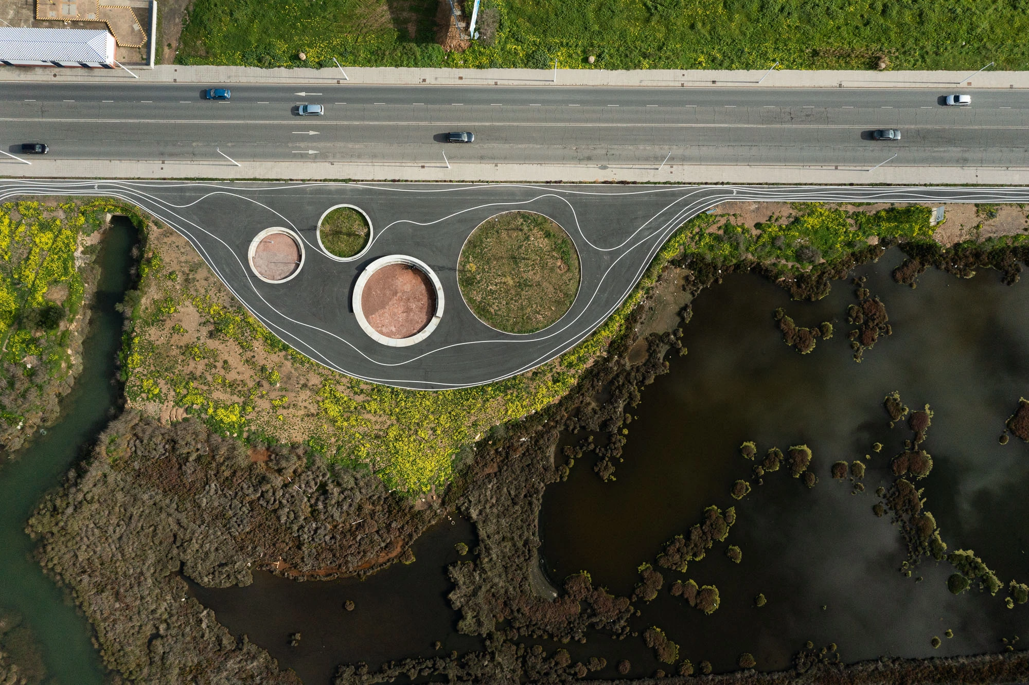
Landscape route around the Odiel River’s north estuary
Estudio Acta- Type Landscape architecture / Urban planning
- Date 2024
- City Huelva
- Country Spain
- Photograph Fernando Alda
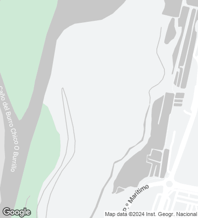
This is a 30-kilometer-long infrastracture that connects the towns of Huelva, Aljaraque, and Gibraleón, bringing them closer to the great environmental, scenic, botanical, zoological, and built wealth that encompasses the vast protected natural space of the Odiel marshes. The main objectives are: non-motorized accessibility between the three mentioned localities, through a multimodal road that stretches along the edge of the river’s northern estuary; and repair of the degraded urban-rural boundaries, through regeneration of the environment and improvement of its scenic image.
The route runs along disused rail tracks, livestock trails, marsh borders, abandoned salt marshes, and the occasional urban fabric. It is punctuated by a series of elements (pergolas, bridges, jetties, rest areas, viewpoints, shelters) which, as strategically located architectural-sculptural pieces of territorial acupuncture, help to map out the itinerary, mark rhythms, and make the territory legible.
The course continuously swings between the XXL scale of the territory and the intervention itself, and the XXS of the architectural pieces. The strategy involved remembering the area’s rich natural and cultural heritage, and to maintain its essences: its riverside, mining, and railway character, and its conception as a major scenic viewpoint from rural land. All this is achieved through curved and natural, sinuous and organic shapes, the same ones that nature give us. As for materials, the project resorted to those historically used in the region: breakwaters, mud walls, floodgates, untreated wood, water crossings reinterpreted with honeycomb panels, and more. Traces of the zone’s rich mining-railway past are reflected in the use of steel and perforated sheet metal utilized in the construction of bridges, pergolas, and belvederes, hybrids of architecture and sculpture stranded in the territory.


